Autonomous-Systems
A ROS 2 project for autonomous parallel and reverse parking on a real car and in Gazebo simulation. The system combines SLAM-based mapping, EKF localization, custom path planners, and parking space detection to fully automate the parking maneuver.
My Contributions
- Extended Kalman Filter (EKF) Integration: Integrated
robot_localizationto fuse wheel odometry with IMU data, correcting odometry drift and providing a stablemap → odom → base_footprinttransform chain. - SLAM + Localization Launch: Created the main launch file combining
slam_toolboxandekf_node, configuring process noise, sensor timeout, and the odometry/IMU fusion matrix. - New TAS Car Hardware Integration: Configured hardware drivers, merged dual LiDAR scans, and added URDF models and Gazebo world assets for the new car platform.
- Costmap & Obstacle Avoidance Tuning: Tuned inflation radius and cost scaling factors in the Nav2 costmap configuration for reliable obstacle avoidance in tight parking spaces.
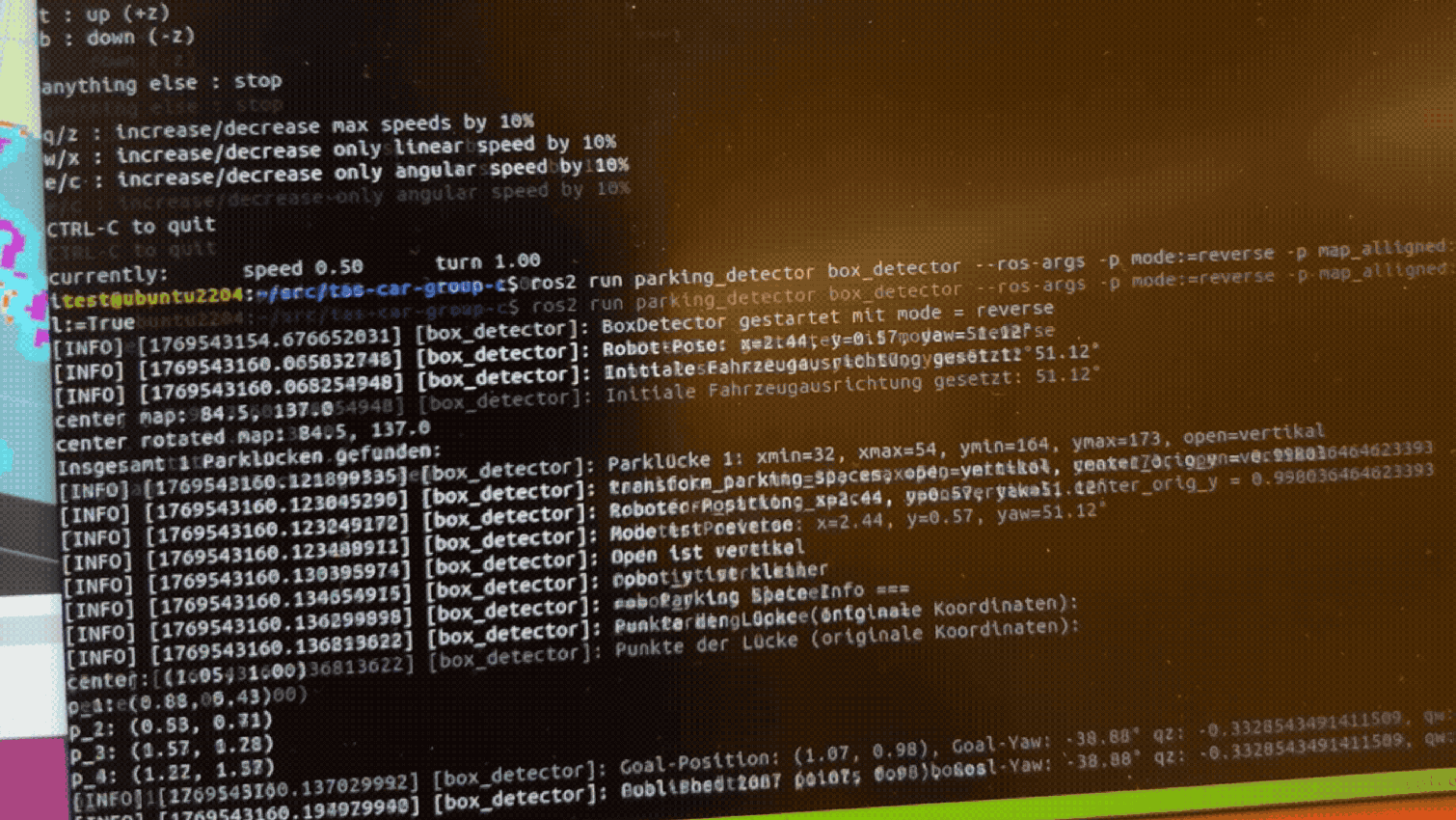
- Path Following Controller Tuning: Configured
RegulatedPurePursuitControllerparameters (lookahead distance, max angular acceleration, desired linear velocity) for smooth and precise parking execution. - Parking Manager Launch: Consolidated the planner, controller, and parking manager nodes into a single unified launch file for both simulation and hardware deployments.
- Extended Kalman Filter (EKF) Integration: Integrated
Subterranean Sentinel is a fully autonomous Micro Aerial Vehicle (MAV) system that explores unknown underground cave environments, detects semantic targets (lanterns), and returns safely: without any human intervention. The system runs on ROS 2 (Jazzy) with a Unity simulation and implements the full autonomous robotics stack: Perception → Mapping → Planning → Control.
My Contributions
- System Design & Architecture: Designed the full modular ROS 2 workspace, defining package boundaries, node responsibilities, topic/service interfaces, and the overall data flow from perception to control.
- Mission FSM: Designed and implemented the mission Finite State Machine that orchestrates all behaviors: takeoff, cave entry, exploration, Z-retry recovery, checkpoint-graph-based return, and landing.
- Exploration Pipeline: Built the frontier exploration manager that continuously requests candidate goals, evaluates them, blacklists failed ones, and keeps the drone progressing through unmapped space.
- RRT* Path Planning: Implemented the RRT* global planner operating directly on the live OctoMap, producing collision-free paths through 3D voxel space.
- Cloud Gating: Developed the pointcloud gate node that enables/disables OctoMap updates on FSM command, preventing map corruption during non-exploration phases.
- ROSbag Recording & Analysis: Set up automated bag recording of key mission topics and performed post-flight analysis using Jupyter Notebook to evaluate trajectory quality, goal success rates, and lantern detection timing.
A research project conducted at TUM’s Institute for Rotorcraft and Vertical Flight, integrating classical robot path-planning algorithms with aerodynamics-inspired Panel-Method-Based guidance to generate smooth, collision-free trajectories for UAVs in urban environments. The panel method, rooted in potential flow theory, treats obstacles as vortex panels to produce a continuous velocity field: eliminating the local-minima problem of classical potential fields. The system was demonstrated in a search-and-rescue scenario: an area-coverage UAV first locates a distress signal using grid-based sweeping guided by the panel method, then a second UAV navigates to the target using a classical path-planning algorithm.